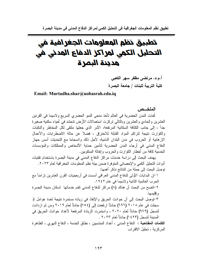
Application of Geographic Information Systems in the Quantitative Analysis of Civil Defense Centers in the City of Basra
Main Article Content
Abstract
Urban cities worldwide have been experiencing rapid urban growth, particularly in the twentieth and twenty-first centuries. This has led to a concentration of land use in very small residential neighborhoods, alongside high population density, making them prone to risks, disasters, and catastrophes due to the accumulation of flammable materials, as well as disturbances, terrorism, and wars in cities of developing countries. To address these challenges, civil defense agencies were established in urban areas to protect individuals, properties, and all service institutions from the dangers of disasters and wars, and to assist those affected.
This research aims to study the services of civil defense centers in the city of Basra using quantitative and statistical analysis techniques available within the geographic information systems environment for the year 2023.
The research reached several key findings, including:
- The initial establishment of Iraqi civil defense was in the 1940s, coinciding with World War II, particularly in 1942.
- The research revealed that there are eight civil defense centers serving the residents of Basra and its region.
- The study found that fire and rescue incidents have been steadily increasing due to various factors, with 696 incidents recorded in 2018, rising to 754 incidents in 2019, and further increasing to 979 incidents in 2020. The number of fire incidents continued to rise sharply, reaching 1,423 incidents in 2023.
Article Details

This work is licensed under a Creative Commons Attribution-ShareAlike 4.0 International License.
References
ـ الحمداني ، خالد اكبر عبد الله و صبحي مخلف ، تقييم كفاءة الخدمات التعليمية في مدينة هيت باستخدام GIS ، مجلة مداد الآداب ، العدد السادس عشر، 2015 .
ـ رزوقي ، ثائر حطاب ، ، اجراءات الدفاع المدني ودورها في حماية المدنيين اثناء الكوارث (مدينة تازة انموذجاً) ، دبلوم عالي ، المعهد العالي للتطوير الامني والاداري ، 2017
ـ دواد ، جمعة محمد ، اسس التحليل المكاني ، أسس التحليل المكاني في اطار نظم المعلومات الجغرافية GIS ، النسخة الاولى ، مكة المكرمة ، المملكة العربية السعودية ، 2012 .
ـ السعيدي ، رنا علي حميد ، الدفاع المدني في القانون العراقي ( دوره في الحد من الخسائر الناجمة عن الكوارث والازمات) ، مطبعة دار السنهوري ، بيروت ، لبنان ، 2019.
ـ علواني ، هيثم احمد محمود ، التحليل المكاني للحوادث المرورية في مدينة الرياض باستخدام نظم المعلومات الجغرافية ( دراسة تطبيقية في جغرافية النقل ) ، اطروحة دكتوراه ، كلية الآداب ، جامعة بنها ، 2017.
ـ عبد العالي ، بن شنة عبد العالي واخرون ، التحليل المكاني لحوادث المرور في ولاية قسطنطينة باستخدام نظم المعلومات الجغرافية ، مجلة الزهراء جامعة كلية الهندسة ، المجلد 17 ، العدد65 ، 2022
ـ العبدلي ، رحيم محمد عبد زيد ، التوزيع الجغرافي لحوادث الحرائق في مدينة النجف الاشرف وسبل الحد منها ، مجلة الآداب ، العدد128 – اذار ، 2019 .
ـ الكعبي ، مرتضى مظفر سهر و ابراهيم حاجم لازم ، التحليل الكمي للحوادث المرورية في مدينة البصرة باستخدام نظم المعلومات الجغرافية GIS، مجلة ميسان للدراسات الاكاديمية ، مجلد 22 ، العدد 47 ، ايلول ، 2023 .
ـ محمد ، صفاء جاسم ورافد موسى ، التحليل المكاني لمراكز الدفاع المدني في مدينة الدوانية باستخدام GIS ، مجلة القادسية للعلوم الانسانية ، المجلد 21 ، العدد 4 ، 2018
ـ يوسف ، رائد احمد يوسف وخلف حسن محمد ، دور نظم المعلومات الجغرافية GIS في تخطيط خدمة الدفاع المدني في محافظة كركوك ( مدينة كركوك انموذجاً ) ، مجلة مداد الآداب ، العدد الخاص بالمؤتمرات للعام 2020 .
Reference
-Al-Hamdani, Khaled Akbar Abdullah and Sobhi Mukhlif, Evaluating the efficiency of educational services in the city of Hit using GIS, Medad Al-Adab Magazine, Issue Sixteen, 2015.
-Dawoud, Juma Muhammad, Foundations of Spatial Analysis, Foundations of Spatial Analysis within the Framework of Geographic Information Systems (GIS), first edition, Mecca, Kingdom of Saudi Arabia, 2012.
-Razouki, Thaer Hattab, Civil Defense procedures and their role in protecting civilians during disasters (the city of Taza as a model), Higher Diploma, Higher Institute for Security and Administrative Development, 2017.
-Al-Saadi, Rana Ali Hamid, Civil Defense in Iraqi Law (its role in reducing losses resulting from disasters and crises), Dar Al-Sanhouri Press, Beirut, Lebanon, 2019.
-Al-Abdali, Rahim Muhammad Abd Zaid, The geographical distribution of fire incidents in the holy city of Najaf and ways to reduce them, Al-Adab Magazine, Issue 128 - March, 2019.
-Abdel-Aali, Ben Shanna and others, Spatial analysis of traffic accidents in the state of Constantine using geographical information systems, Al-Zahraa University College of Engineering Journal, Volume 17, Issue 65, 2022.
-Alwani, Haitham Ahmed Mahmoud, spatial analysis of traffic accidents in the city of Riyadh using geographic information systems (an applied study in transportation geography), doctoral thesis, Faculty of Arts, Banha University, 2017.
-Al-Kaabi, Mortada Muzaffar Sahar and Ibrahim Hajim Lazem, Quantitative analysis of traffic accidents in the city of Basra using geographic information systems (GIS), Maysan Journal of Academic Studies, Volume 22, Issue 47, September 2023.
-Muhammad, Safaa Jassim and Rafid Musa, Spatial analysis of civil defense centers in the city of Ad-Dawwaniyah using GIS, Al-Qadisiyah Journal for the Humanities, Volume 21, Issue 4, 2018.
-Youssef, Raed Ahmed and Khalaf Hassan Muhammad, the role of geographic information systems (GIS) in planning the civil defense service in Kirkuk Governorate (the city of Kirkuk as a model), Medad Al-Adab Magazine, conference special issue for the year 2020.
